Service Area Map
You can also see our district boundaries using the CSDA mapping program at http://csdamaps.getstreamline.com/
Or view our enabling act, which defines the District's boundaries:
Senate Bill 1391
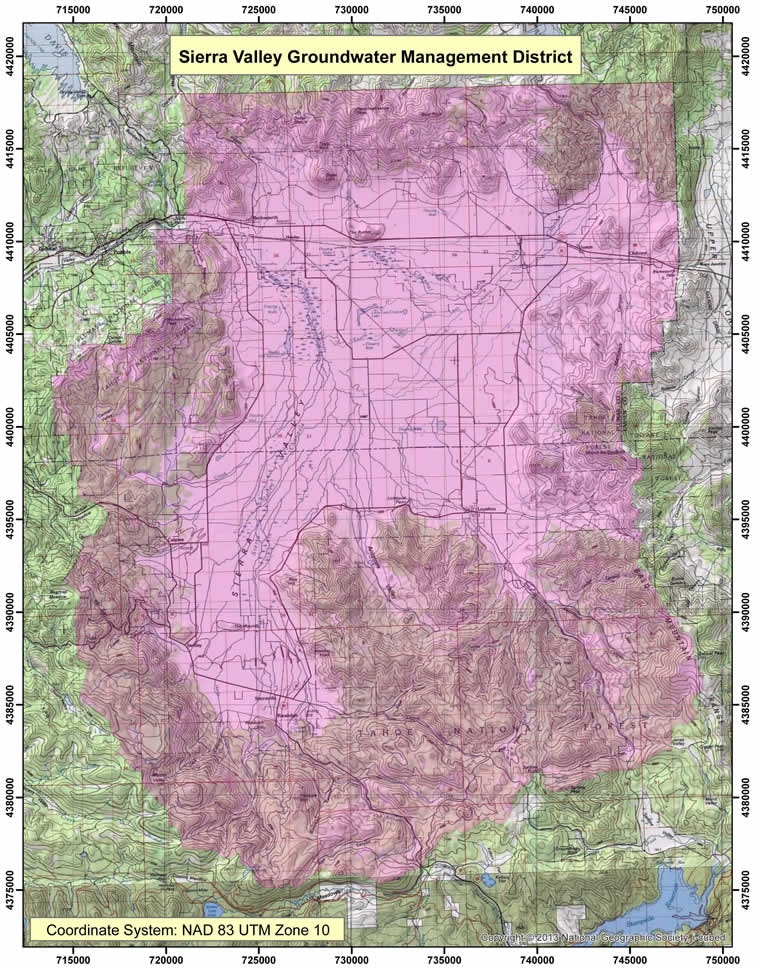
The map below depicts the district boundaries (pink shading) in relation to the groundwater basin defined by the CA Dept. of Water Resources
DWR Bulletin 118